|
|

|
 About the Land Surveyor/Geodetic Engineer Many people think that land surveyors/geodetic engineers
only conduct fieldwork. Surveyors can choose from many specialties and get involved at many stages of a project. They are the first on the job. Sometimes they get involved while the
project is being completed. When the job is done, they make sure that all the measurements are in line with original plans.
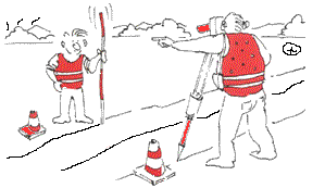
Surveyors/Geodetic Engineers are like detectives. Surveyors/Geodetic Engineers use courthouse and computer records to research an area’s deed records and previous surveys. In planning the job, surveyors also decide the best technologies required to complete fieldwork. Surveyors work outdoors and challenge themselves intellectually. Surveyors/Geodetic Engineers spend time in the field collecting data about the land. They search for boundary markers to verify historical data. In the field, they may have to wear several hats and have knowledge of history, geology, forestry, hydrology, or botony. Their data is stored on a notebook field laptop and brought back to the office for processing and creating the map. Surveyors/Geodetic Engineers map things out. Surveyors validate and process data that other professionals—engineers, lawyers, architects—rely on. Analysis is important in order to verify the data before creating the map. It used to take days, weeks, and even months to create a single map. Now, most maps can be created and checked in a single day with computerized mapping tools. Because most surveys become legal documents, all states require that licensed surveyors review and verify the data and resulting maps. __________________________________________________________
|
|
Enter supporting content here |
